Copyright © WANNACRACK.COM. All Rights Reserved
This site is protected by reCAPTCHA and the Google Privacy Policy and Terms of Service apply.

Category
Latest Update
3/19/2020
Rating
Report
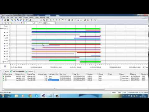
Topcon Tools is excellent software for matching and improving the observations of various mapping devices. With this program, it will be very easy to do all kinds of routine and basic tasks in the field of mapping and surveying, which is definitely very important for beginners and even professional surveyors. The program is designed to be very simple and can be easily installed on a variety of systems and different versions of Windows. The user interface of this program is designed to be simple and with a little time you will master all parts of the program.
This software is able to receive and process information from a variety of GNSS receivers. This software also has the ability to process information from other devices and receivers. All received data is stored in the project format in the software and can be accessed and edited at any time. This software supports various geographic coordinate systems and users can select their desired coordinates from the settings section. You can enter or output data in a variety of formats. For example, you can receive data from supported receivers and output another receiver after making the desired edits and changes.
Supports a variety of topcon mapping and data collection devices
Modularity of the program
Having Total Station, RTK, Post Processing, GIS, Design, and Imaging modules
Ability to personalize and adapt to your workflow
Display your work by map, equipment, Google Earth, tabular, CAD or 3D
And
Os: windows xp/vista cpu: intel pentium 1.0 ghz or faster ram: 512 (1gb recommended) hard: 300 mb of available hard deisk space monitor: 17 and higher (256 colors) connectivity: usb2 port
Read the Readme.txt file.

Download
Comments
Similar