Copyright © WANNACRACK.COM. All Rights Reserved
This site is protected by reCAPTCHA and the Google Privacy Policy and Terms of Service apply.
Category
Latest Update
6/18/2021
Rating
Report
ESRI ArcGIS is a GIS software for working with maps and GIS developed by ESRI. This software is used in preparing and using maps, collecting geographic data, analyzing map-based information, generating and sharing geographic information, using maps and geographic information in other applications in a database. This system provides an infrastructure for building maps and geographic information across an organization across a community. ArcGIS includes the following software:
ArcReader: To view and search maps created with other ArcGIS software products
ArcView: To create layered maps and spatial analysis
ArcEditor: Includes advanced tools for manipulating shapefiles and geodatabase
ArcInfo: Includes data manipulation, editing and analysis capabilities
Convert information into practical information
Created, edited, analyzed and shared information efficiently
Convert 2D data to 3D for powerful visualization
Easy import and edit data
Perform analysis to solve problems
Build mapping solutions, asset management, resource allocation, business data analysis and measurement results
More efficient information management
Automated and advanced workflow with powerful editing tools
Easy production of high quality maps
Windows 8 is no longer supported by Microsoft. Please upgrade to Windows 8.1 or higher. Supported and Recommended CPU speed 2.2 GHz minimum; Hyper-threading (HHT) or Multi-core recommended Platform x86 or x64 with SSE2 extensions Memory/RAM Minimum: 4 GB Recommended: 8 GB Display properties 24-bit color depth Also see Video/Graphics adapter requirements below.* Screen resolution 1024×768 recommended minimum at normal size (96 dpi) Disk space Minimum: 4 GB Recommended: 6 GB or higher ArcGlobe creates cache files when used. If using ArcGlobe, additional disk space may be required. * Video/Graphics adapter 64 MB RAM minimum; 256 MB RAM or higher recommended. NVIDIA, ATI, and Intel chipsets supported. 24-bit capable graphics accelerator OpenGL version 2.0 runtime minimum is required, and Shader Model 3.0 or higher is recommended. Be sure to use the latest available drivers
After installation, copy and replace the file in the Crack folder in the program installation location.
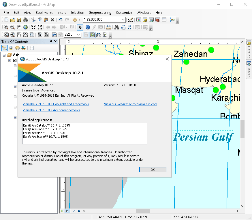
Version 10.7.1 was installed on November 10, 1998 in Windows 10 64-bit version and - as shown in the image - has been successfully activated.
Download
Comments
Similar